This article originally appeared on GOGEOMATICS Canada and was jointly written by Nicolas Gignac, Dami Sonoiki (eHealth Africa) and Samuel Aiyeoribe (eHealth Africa).
In today’s digital world, organizations are effectively working to publish clean and up-to-date dynamic geospatial data. This data needs to be time-based in order to track changes in multiple versions within short periods. Finding the best tool that adapt seamlessly to one’s own organization’s workflow and capability has been a challenge faced by many organizations.
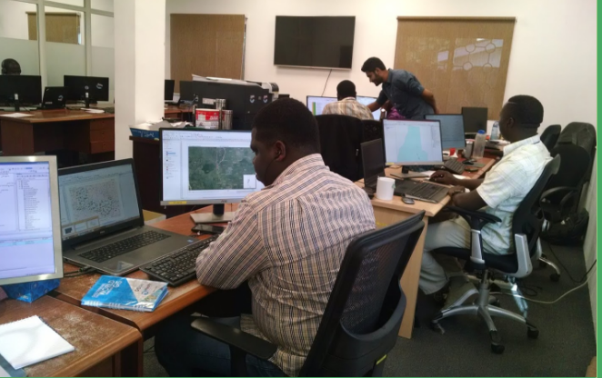
Managing geospatial data processing within a large team of editors in a distributed work environment can be complex especially with regard to conflicting modifications related to geometries or attributes. When managing a centralized database or an open crowd-sourcing environments, editors may like to track changes and edit data while disconnected from the centralized master database, using source code versioning like tools.
A number of tools already exist in the market to tackle versioning, for instance ArcGIS versioning database in the ESRI world. Unfortunately, this option requires buying multiple Desktop and Server licenses.
In the OpenStreetMap platform, Overpass queries can reveal modification history. However the tool cannot be used for an in-house database. There is also GeoGig and PGversion as Free and Open Source Software for Geospatial (FOSS4G) tools, but both lack functionality to fulfill the above described purposes. The setup involves using PostGIS as the main repository by having the ability to edit specific geographic sections of a data layer and to work offline without having to write any lines of code from the editor.
To learn more, click here for full article.