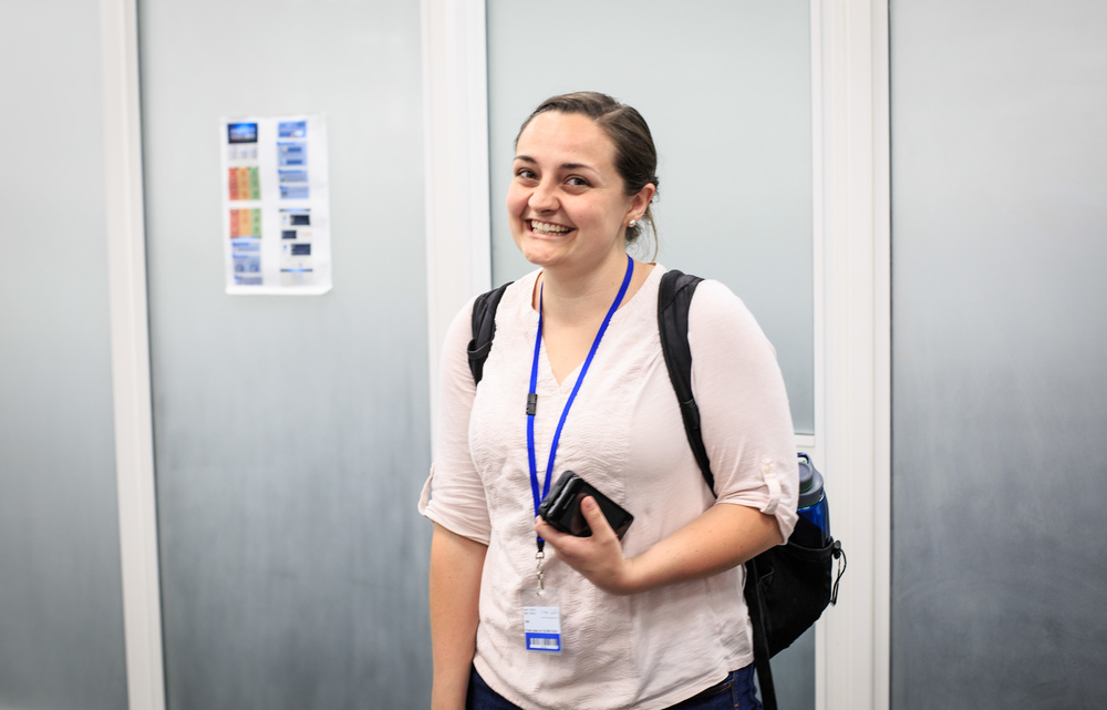
My name is Samantha Tedford. I am an undergraduate student studying Geography and the Environment at the University of Texas, Austin in the United States. For the past two months I worked as an intern with the Geographic Information Systems team (GIS) at eHealth Africa (eHA) in Kano, Nigeria.
Working with the eHA GIS team in Kano was a life changing experience for me professionally, academically, and personally. I learned more in two months than I could have from a full semester of GIS classes. The GIS team was patient with me when I was trying to understand the work that eHA does particularly with polio and vaccination tracking, and they were a great resource for me throughout the duration of my project. I loved working with the team who are all dedicated professionals, and I am lucky to be able to call them my friends.
What is the Geographic Information System?
A Geographic Information System (GIS) is essentially a tool which allows its user to manipulate, visualize, analyze, and interpret spatial data. eHA’s GIS team, in collaboration with others, has created a highly robust GIS over the past three years from areas that were previously unknown. eHA’s GIS contains information about settlements, cities, roads, administrative boundaries, geological features, and points of interest such as health facilities, markets, and schools in eight project states across Northern Nigeria. The GIS of Northern Nigeria was built up through the years by a series of data collection techniques.
One of the first methods of gathering spatial data in this region was remote sensing (RS). The data gathered by the RS projects alongside other satellite imagery was used to feed a process of semi automatic feature extraction and classification. This involved a program reading the reflectance values given by the RS data collection and using predefined rules to sort the various areas of Northern Nigeria into their feature category (settlement, forested area, waterbody, road). This being a semi automatic process, it still required and continually requires quality checking and frequent updating by the GIS team. The RS results are supplemented by routine data collection campaigns in which teams of Data Collectors physically go into the field carrying GPS enabled devices and gather information about the specific coordinates of points of interest or settlements, names of settlement areas or wards, and any other information needed to strengthen the GIS. All of this data is integrated into the GIS by the GIS team and continually undergoes stages of quality checking, data cleaning and frequent updating.
What is the practical application of GIS in Northern Nigeria?
The GIS of Northern Nigeria is used to support a number of projects within eHA by providing highly detailed and accurate maps, navigation and routing planning and support, and supplying the foundation for other projects such as the Vaccination Tracking System. eHA’s GIS data supports the polio program specifically through providing a variety of maps that can be used to assist in the micro planning process before a supplementary immunization campaign (SIA). These basemaps ensure that every SIA, know as an Immunization Plus Days (IPD) in Nigeria, is as efficient and effective as it can be.
My internship project was to perform an evaluation of the Vaccination Tracking System in conjunction with the GIS data to determine what effects the program. I began by collecting data about Wild Poliovirus in Nigeria from a variety of external sources. After collecting and integrating that data, I created a variety of maps both static and animated to search for trends in WPV distribution both spatially and temporally. Then I gathered data from the Vaccination Tracking System which involved gathering data from 32 tracked SIA campaigns across three years. Once I had completed that process I created an interactive map in which both the WPV cases and the VTS coverage areas and quality of coverage in those areas was visualized simultaneously and controlled by time. I used my understanding of WPV in Nigeria, eHA’s GIS and VTS, and the data I had collected to explore the ways in which WPV, GIS, and the VTS impact one another. At the end of my project I gave a presentation on my analysis and results, and wrote a report on the topic of my observations and findings which included the 40 maps I produced.
What I learned from the internship
The internship was valuable to me and my studies as a geography student with a focus in GIS and sustainability. I gained professional experience working alongside highly experienced and leading GIS specialists by learning more about the building and maintenance of a good GIS, as well as various data collection techniques, vaccine direct delivery, cartography, and technical writing. I now better understand concepts in GIS and GI science as I have seen how they can be practically applied in a workplace.
Overall, I loved my experience as an intern with the GIS department and would recommend others to join eHA as an intern across their wide spectrum of work. Not only did I learn a great deal about the intersections of GIS and public health from my project, but I also learned a lot from my coworkers about kindness and respect for cultural diversity in the workplace.
