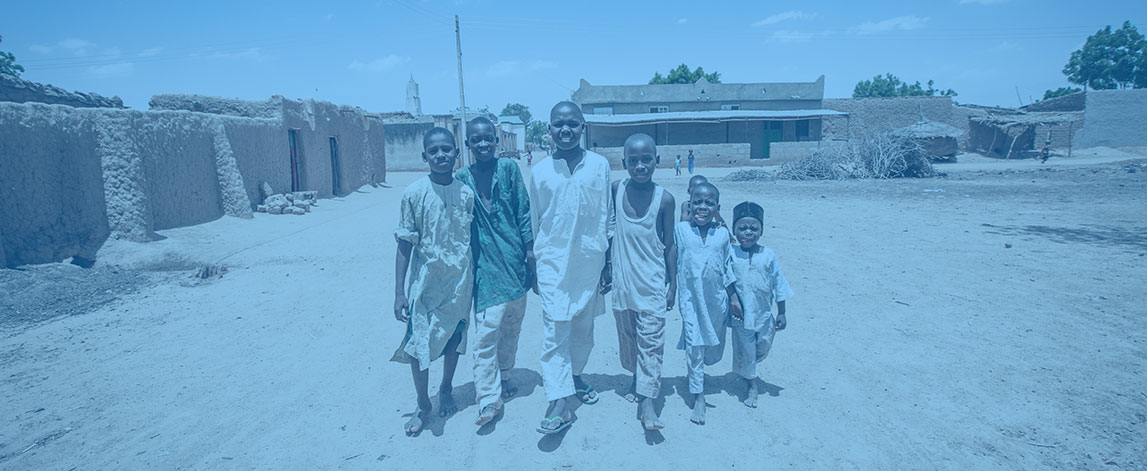
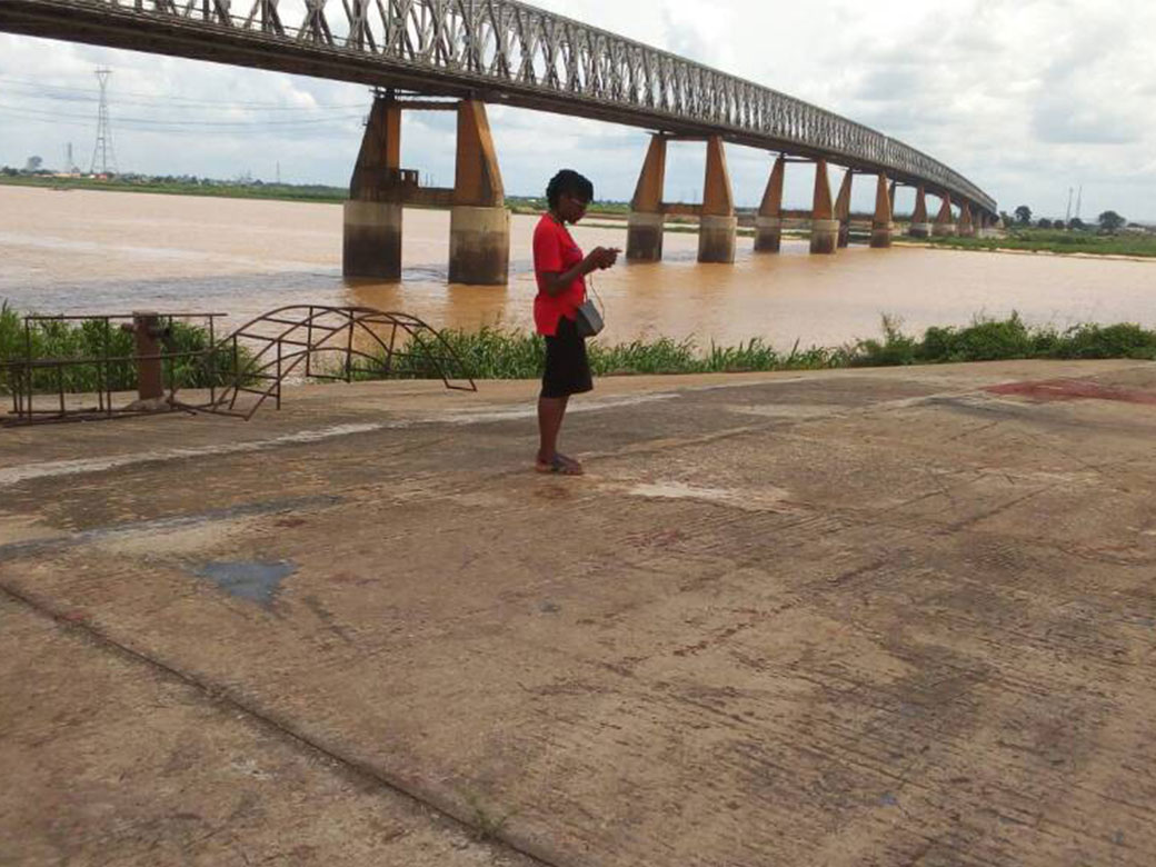
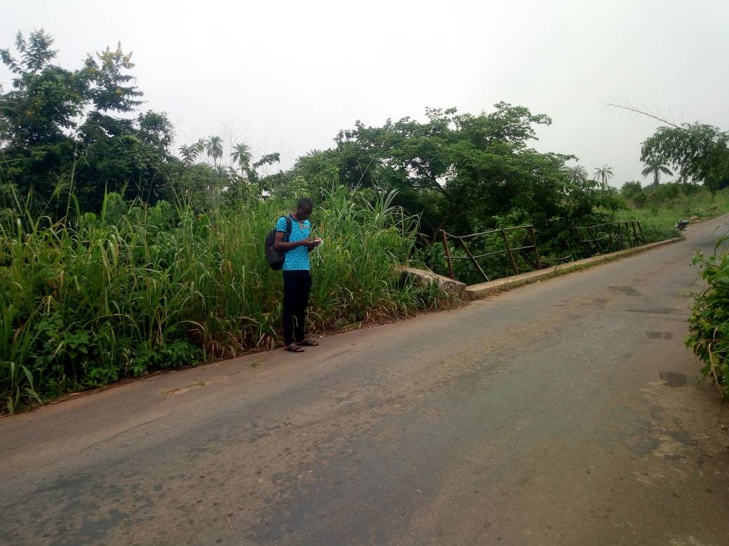
The GRID3 project aimed to collect accurate, complete, and geospatially referenced data relevant to a variety of sectors across Nigeria (25 states and the FCT). Datasets collected include: settlements, health facilities, schools, markets, roads, water points, farms etc.

 
health-delivery-icon.png
disease-surveillance-icon.png
health-emergence-icon.png
laboratory-icon.png
countries

Nigeria

 
funding

Bill and Melinda Gates Foundation

grid.jpg
IMG-20180509-WA0013.jpg

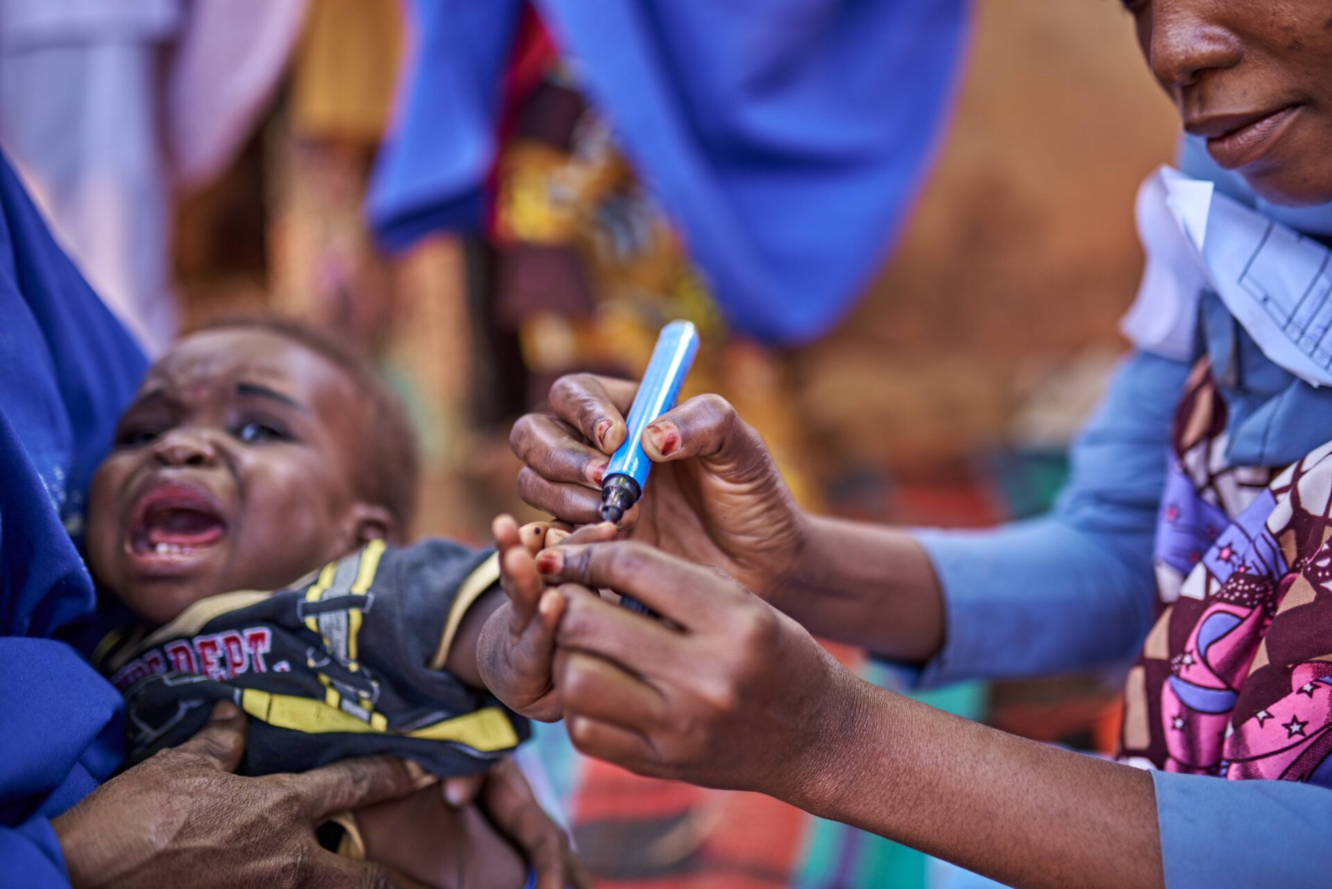
The project builds on similar support to eleven northern States, which aimed to support the polio micro-planning work, and to serve as a base layer for GIS tracking of vaccination teams. The objectives of the mapping have been expanded in recognition of the fact that similar GIS mapping and data collection processes could be applied throughout the rest of the country and could derive benefits beyond vaccination planning.

The project is part of a bigger global initiative extending these benefits across multiple countries. The Global GRID partnership is made up of DfID, BMGF, University of Columbia, UNFPA and Flowminder.
 

Expected outcomes from the project include:

  • Increased access to data for use by State Government decision makers in Nigeria through the continuous availability of a robust and up to date GRID3 geodatabase.

  • Increased capacity of data managers to make data available and integrated into planning processes for decision makers in GRID3 states.

  • Increased coordination of key federal government agencies in the management of data in Nigeria.

The long term goal and anticipated impact of the project is for the Nigerian people, particularly the poor and vulnerable, to benefit from better evidence-based resource distribution and data driven policy-making by decision makers.

Objectives

  1. Increase public primary healthcare facilities that meet national or international standards for maternal and child health
  2. Improve supply chains for vital health commodities
  3. Improve eHA's ability to respond to public health emergencies

eHA's role

  • Engagement of State Ministries, Departments and Agencies to gain their buy-in to the project and access support (financial and non-financial- data collection personnel, training venues etc)

  • Training and selection of State nominated data collectors in each state on data collection- use of ODK/GeoODK

  • Planning and supervision of data collection activities in 25 states, plus FCT.

  • Validation/processing of primary and secondary data and updating of geodatabase with new/updated data

  • Creation of ward boundaries for each state

  • Development of a GRID3 portal to store the data openly and to be handed over to the States

  • Capacity building for state data managers responsible for the portal

  • Support to Global Team assembling National Steering Committee for GRID3

  • Support to Kaduna State Bureau of Statistics to demonstrate how data can be used for decision making- first GRID3 use case

who benefits
 
  • The 37 Nigerian State Governments, with particular focus on the 25 states, plus FCT which were the focus of this project -- primary stakeholders vary by state (SPHCDA, MoH, Bureau of Statistics, GIS Agencies)-- decision makers and data managers .

  • Key Stakeholder at the National Level include:

  1. National Population Commission
  2. National Bureau of Statistics
  3. Ministry of Health & NPHCDA
  4. Ministry of Agriculture and Rural Development
  5. Ministry of Education & UBEC
  6. Ministry of Budget and Planning
  7. National Boundary commission
  8. Ministry of Water Resources
  9. OSGOF
  10. NASRDA
  11. Private Sector Organizations
  12. Development Partners (especially DFID, BMGF- Project donors)
Impact
 

25

POI categories collected

Total No. of named settlements

Total No. of named settlements

Screen Shot 2018-07-08 at 11.47.09 PM.png

583,649

Total No. of POIs collected across the country

Coverage of data collection: 25 states, plus FCT (plus 11 originally mapped states)

Coverage of data collection: 25 states, plus FCT (plus 11 originally mapped states)

766,973

Total No. of POIs in GRID3 portal

Average land coverage (1km x 1km grids) of data collection across the 25 states, plus FCT= 84%

Average land coverage (1km x 1km grids) of data collection across the 25 states, plus FCT= 84%

 
Read more
 
 
partners
 
NPHCDA.jpg
BMGF.png
DFID.png
image7.jpg
image4.jpg
image1.jpg
image3.png